CAMERA VIEW / WEST / NORTH / EAST
CONNECTING
NWS STATUS
No active watches, warnings, or advisories for the station point.
VISUAL CONDITIONS / UPDATED EVERY 60 SECONDS
Sky cameras
Three current sky views, including a west-to-east northern panorama. Select a view to inspect it at full size.
CAMERA VIEW / 000°
CONNECTING North Sky
CAMERA VIEW / 180°
CONNECTING South Sky
ROLLING 24 HOURS / GENERATED HOURLY
Sky timelapse
NEXT EDITION BY SEP 28, 6:05 PM PDT CALCULATING
SKY WIDE 100.0% COVERAGE
- WINDOW END
- SEP 28, 5:01 PM PDT
- FRAMES
- 1,440
NORTH SKY 100.0% COVERAGE
- WINDOW END
- SEP 28, 5:01 PM PDT
- FRAMES
- 1,440
SOUTH SKY 100.0% COVERAGE
- WINDOW END
- SEP 28, 5:01 PM PDT
- FRAMES
- 1,440
Playback, speed controls, the timeline, and dated retrieval are available in the protected archive viewer.
OPEN TIMELAPSE VIEWER BROWSE ARCHIVEON-SITE WX ARRAY / AMBIENT WEATHER WS-2000
On-site conditions
KTML Station 01 Beavercreek, Oregon
REPORTING LIVE SOUND OFF
LAST OBSERVATION 103 SEC AGO
KTML REALISTIC EXPECTATION
Mild / Calm
Temperatures are mild. The air should feel crisp. Winds are calm. No rain is falling. The NWS describes the area as sunny. The on-site temperature closely matches the NWS hourly forecast.
- THERMALMild
- MOISTURECrisp
- WINDCalm
- PRECIPDry
- NWS HOURLY
- 66°F Sunny
- ON-SITE
- 65.5°F
- NWS TEMP DELTA
- -0.5°F
- NWS WIND DELTA
- -1.1 MPH
Current conditions
65.5°F OUTDOOR TEMPERATURE
- FEELS LIKE
- 65.5°F
- HUMIDITY
- 42%
- DEW POINT
- 41.8°F
Wind
N 5°
0.9 MPH NOW
1.1 MPH GUST
- GUST DIRECTION
- -- / --
- 2 MIN AVG
- --
- 2 MIN DIRECTION
- -- / --
- 10 MIN AVG
- --
- 10 MIN DIRECTION
- N / 5°
- TODAY'S MAX GUST
- 6.9 MPH
Rain
TODAY 0.00 IN
CURRENT EVENT 0.00 IN
- RATE
- 0.00 IN/HR
- LAST HOUR
- 0.00 IN
- LAST 24 HOURS
- --
- THIS WEEK
- 0.00 IN
- THIS MONTH
- 1.71 IN
- THIS YEAR
- 25.82 IN
- STATION TOTAL
- --
Atmosphere
30.09 INHG / RELATIVE PRESSURE
- ABSOLUTE PRESSURE
- 29.223 INHG
- HUMIDITY
- 42%
- DEW POINT
- 41.8°F
Solar
62 W/M²
0.0 UV INDEX
Station information
ELEVATION 798 FT
- STATION
- KTML Station 01
- LOCATION
- Beavercreek, Oregon
- PUBLIC COORDINATES
- 45.26° N / 122.49° W
- HARDWARE
- Ambient Weather WS-2000
- TIMEZONE
- America/Los_Angeles
HISTORICAL OBSERVATIONS / UTC SOURCE
Station trend
RANGE
FILTERED VIEW STATION TREND / PAST 24 HOURS
SELECT A STATION MODULE TO LOAD HISTORY
Select a point on the graph for its timestamp and nearest archived sky frames.
NO POINT SELECTEDANUBIS-PROTECTED DERIVATIVES
Sky at selected point
SELECT A GRAPH POINT TO LOAD SKY FRAMES
NO FRAME AVAILABLE ![Sky Wide nearest the selected historical station reading]()
NO FRAME AVAILABLE ![North Sky nearest the selected historical station reading]()
NO FRAME AVAILABLE ![South Sky nearest the selected historical station reading]()
DAILY ALMANAC / LOCAL CALENDAR DAY
Observed extremes
SEP 28, 2026 1034 OBSERVATIONS
- HIGH TEMPERATURE
- 69.6°F4:34 PM PDT-2.4° VS OTHER DAY
- LOW TEMPERATURE
- 43.0°F6:53 AM PDT+0.2° VS OTHER DAY
- PEAK GUST
- 6.9 MPH12:54 PM PDT-2.2 MPH VS OTHER DAY
- RAIN TOTAL
- 0.00 INLOCAL DAY+0.00 IN VS OTHER DAY
- MAX UV
- 4.011:15 AM PDT
- MAX SOLAR
- 508 W/M²1:18 PM PDT
SEP 27, 2026 1416 OBSERVATIONS
- HIGH TEMPERATURE
- 72.0°F4:28 PM PDT+2.4° VS OTHER DAY
- LOW TEMPERATURE
- 42.8°F6:54 AM PDT-0.2° VS OTHER DAY
- PEAK GUST
- 9.2 MPH4:49 PM PDT+2.2 MPH VS OTHER DAY
- RAIN TOTAL
- 0.00 INLOCAL DAY+0.00 IN VS OTHER DAY
- MAX UV
- 5.011:49 AM PDT
- MAX SOLAR
- 525 W/M²12:16 PM PDT
CELESTIAL CONDITIONS / LOCAL HORIZON
Sun & Moon
CURRENT PHASE Waning Gibbous 93% ILLUMINATED
SURFACE STANDBY
NEXT FULL MOON 27D 03H
MOON ALTITUDE -16.9° BELOW HORIZON
MOONLIGHT 0% BELOW HORIZON
WHAT IT MEANS
Waning Gibbous
The lit portion is shrinking and the Moon remains prominent late at night.
TERMINATOR WATCH
Kepler and Oceanus Procellarum move toward the morning terminator.
MOONRISE7:33 PM PDT
HIGH POINT3:06 AM PDT64.3° ALT
MOONSET10:56 AM PDT
SUNRISE7:05 AM PDT
SUNSET6:55 PM PDT
LOCAL DAY / ALTITUDE ABOVE HORIZON
24-hour sky track
SELECTED TIME
SUN 14.0° ALT / 252° AZ MOON -17.1° ALT / 41° AZ
EPHEMERIS DETAILS
- DISTANCE
- 372,249 KM
- ANGULAR SIZE
- 0.535°
- LIBRATION
- -3.33° LON / -6.12° LAT
- NEXT NEW MOON
- OCT 10, 8:50 AM
Positions and events use Astronomy Engine at the station point. Lunar surface imagery is NASA Goddard / ASU LROC data from the CGI Moon Kit. The display is north-up and intended for general observing context.
AIR QUALITY / THUNDER & LIGHTNING
Environmental watch
AIRNOW / CURRENT AQI
Air quality
NO CURRENT AQI
Awaiting the next AirNow report.
NWS GRID / ON-SITE SENSOR
Thunder & lightning
7%NEXT 6 HOURS
7%NEXT 24 HOURS
- ACTIVE T-STORM ALERTS
- 0
- ON-SITE DETECTOR
- NO SENSOR DATA
AUTHORITATIVE POINT FORECAST / NWS PORTLAND
Next up
Issued Sep 28, 4:41 PM PDT
This Afternoon
68°F
Sunny
- PRECIP
- 2%
- WIND
- WSW 2 mph
Tonight
49°F
Partly Cloudy
- PRECIP
- 5%
- WIND
- S 1 to 6 mph
Tuesday
68°F
Mostly Cloudy then Slight Chance Light Rain
- PRECIP
- 20%
- WIND
- SSW 7 mph
Tuesday Night
53°F
Chance Light Rain
- PRECIP
- 30%
- WIND
- NW 5 mph
Wednesday
69°F
Mostly Sunny
- PRECIP
- 1%
- WIND
- N 5 mph
Wednesday Night
50°F
Partly Cloudy
- PRECIP
- 1%
- WIND
- NE 5 mph
NEXRAD / KRTX PORTLAND
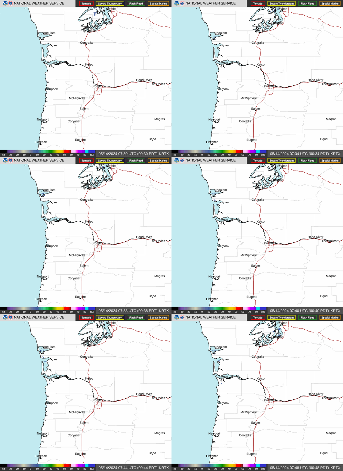
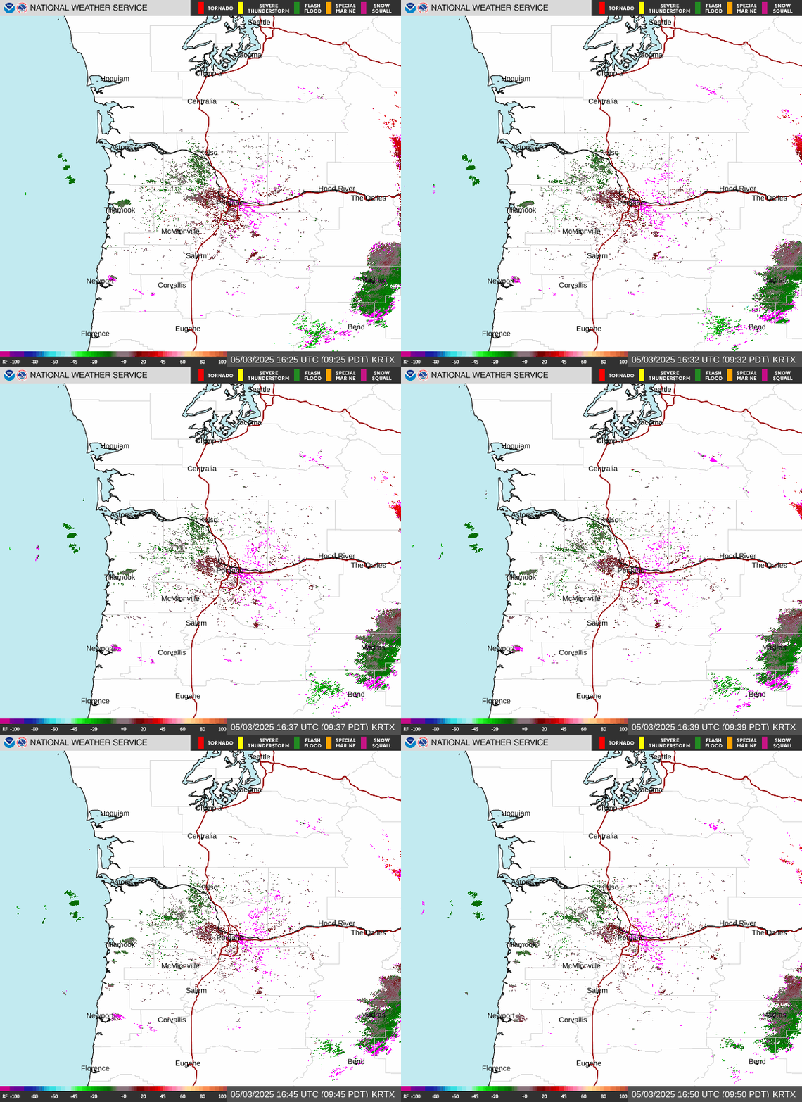
Radar loop
Latest standard base reflectivity loop from NOAA / National Weather Service.
INTERACTIVE MAP / WINDY
Wind & precipitation
Pan, zoom, and switch layers for a wider view of incoming conditions.
USEFUL NEARBY SERVICES
Local field desk
Regional and safety services beyond the on-site array.
01 / FORECAST NWS Beavercreek point forecast
Hourly detail, hazards, and the full Portland forecast-office discussion.
02 / AIR Oregon DEQ air qualityOfficial AQI observations for smoke, ozone, and particulate pollution.
03 / WATER Clackamas River gaugeUSGS river height, discharge, temperature, and water-quality observations.
04 / SAFETY Clackamas County Public AlertsOpt in to official county emergency notifications by text, phone, or email.
05 / ROADS Oregon TripCheckCurrent highway weather, incidents, closures, delays, and travel conditions.
06 / POWER PGE outage mapLive outage locations, reported impacts, and available restoration updates.